Welcome To Ride Ready
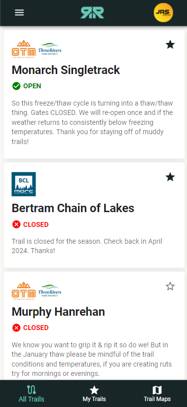
A mountain biking trail finder app, that allows for trail maintainers to provide open/closed status as well as more detailed description of the current status of the trail and other information they'd like to get out. Users can use this application to get most up to date trail status and to get directions to each trail.
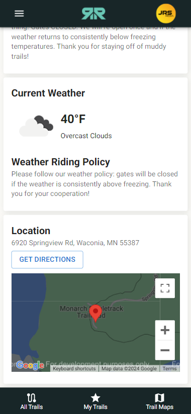
Trail Weather & Directions
Utilizing Open Weather API to provide the current weather at the trail location and Google Maps API to display the location on Google Maps and a simple button that links to the trailheads location for the user to get directions. This page is rendered upon clicking on an individual trail within the trail list.
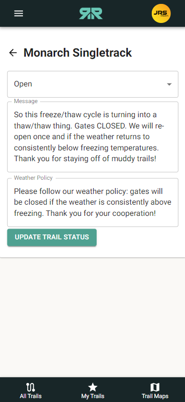
Update Form For Trail Maintainers
Simple update form allows trail maintainer to update the changeable status for each trail they maintain. Trail maintainers are not allowed to delete or change certain trail elements from here.
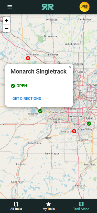
Map With Trail Locations & Directions
A map view of all the available trails where the user can easily see it's open/closed status and click on the icon to view the trail name and get directions.
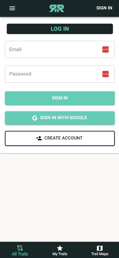
Login & Authentication With Firebase
Users are able to create an account, login and authenticate with email or with Google via Firebase authentication. The app also utilizes Firebase for its data storage.